Author:
Scott Hsu
Participants:
Amy Bauer and Scott Hsu
We did a nice clockwise hiking loop in
the Latir Peak Wilderness in the Sangre de Cristo Mountains (near
Questa, NM), starting and finishing at Cabresto Lake. Along the way
we stood on the summits of six ranked 12ers: "Bull Creek Peak"
(12170'), "Cabresto Sur Este" (12456'), Cabresto Peak (12448'),
Venado Peak (12734'), Virsylvia Peak (12594'), and Latir Peak
(12708'). We had to re-climb Venado after Virsylvia. It was a
perfect weather day with colorful autumn foliage visible everywhere.
It took us 10.5 hours to do the ~18 mile hike which included ~5700'
of total elevation gain. A more detailed write-up including pictures
is available by clicking
here.
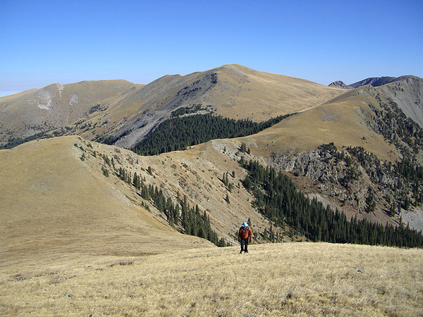
Amy hiking up
toward "Cabresto Sur Este" with Virsylvia, Venado,
and Latir Peaks visible in the background from left to right.
