Author:
Chris Nelson
Participants: Tuff Riders
and LAM members. Map:
click
here.
What a way to start a ride, to be
jerked out of sleep with thunder, lightening and driving rain at
6:30 a.m., with leaving time in 1 ˝ hours. But typical of New
Mexico the rain cleared and after 5 frantic phone calls to those who
have good computer weather access we agreed to go in spite of the
weather.
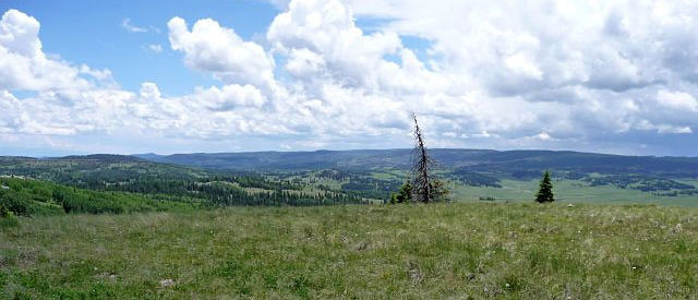
A
view from the top of Jawbone Mountain, near the New Mexico/Colorado
boarder.
Nine lucky riders left Sullivan
Field at 8 and drove two hours to the trail head under bright blue
sky. We were a combination of Tuff Riders and Los Alamos
Mountaineers out to explore a lovely high country ride through
meadows, aspen, and fir forest. There was one other truck at the trail
head but we saw no one until we returned to the highway. All
riders survived and hopefully enjoyed themselves.
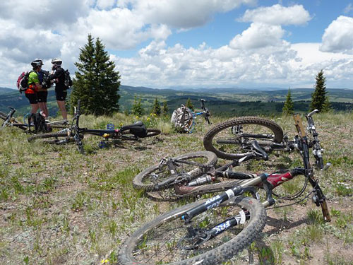
Where the heck are we?
We were surrounded by towering
thunderheads and saw lightening in the distance, but above us blue
sky persisted for the entire ride except for 1 minute of tiny hail.
The only rain drops occurred after we were back in the cars and
heading south. Such good luck!
This is a loop ride of 15 miles, up
and down around Jawbone Mountain in the Brazos Mountains. There are
no tall peaks in the Brazos so the range makes for great riding. The
meadows were full of flowers, creeks were flowing and at times mud
caked our bikes. The high point of the trip, where the pictures were
taken is 10,600' and one can see forever to the mountains between
Chama and Pagosa Springs, the Brazos Cliffs, and south over the mesas
and valleys of Tierra Amarilla and the Jicarilla Apache lands.
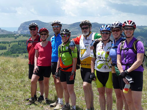
Eight of our nine intrepid mountain bikers.
The trail follows the "Tony Marquez
Trail" and the continental divide trail over old forest service and
logging roads, double track and single track. Some of the up
hill stretches are lung busters but the reward is the down hill
sections. Of course, we had to explore some and that lead to
crossing meadows full of bunch grass, hidden rock and wood, but we
found our way back to the starting point and managed to avoid a
three mile stretch of road riding.
I would say that this trail rivals
the South Boundary Trail for premier status in the NM mountain
biking world. It will be a lovely ride in the fall during
aspen season if anyone is interested in repeating it.
